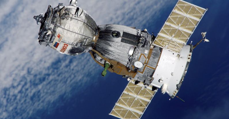
Satellites have revolutionized the field of oceanography by providing scientists with valuable tools to study the vast and dynamic oceans from a bird’s eye view. These advanced technological marvels orbit the Earth, capturing invaluable data that helps researchers gain insights into various oceanic processes and phenomena. From monitoring sea surface temperatures to tracking marine life and mapping ocean currents, satellites play a crucial role in enhancing our understanding of the oceans and their intricate ecosystems.
**Enhancing Sea Surface Temperature Monitoring**
One of the key contributions of satellites to oceanography is their ability to monitor sea surface temperatures with high precision and accuracy. By capturing thermal infrared radiation emitted by the ocean’s surface, satellites can provide detailed information on temperature variations across different regions. This data is essential for studying ocean circulation patterns, identifying the presence of oceanic fronts, and monitoring the impact of climate change on sea surface temperatures. Additionally, accurate sea surface temperature measurements from satellites help improve weather forecasting, enabling better predictions of extreme weather events such as hurricanes and typhoons.
**Tracking Marine Life**
Satellites also play a vital role in tracking marine life, including large marine mammals, fish stocks, and endangered species. By utilizing remote sensing technologies, scientists can monitor the distribution and abundance of marine organisms in their natural habitats. Satellite data helps researchers identify critical habitats, migration routes, and breeding grounds of various marine species, contributing to the conservation and management of marine ecosystems. Moreover, satellites enable scientists to assess the impact of human activities such as fishing and pollution on marine biodiversity, leading to better-informed conservation strategies.
**Mapping Ocean Currents**
Another significant contribution of satellites to oceanography is their capability to map ocean currents on a global scale. By measuring sea surface height variations using radar altimetry, satellites can generate detailed maps of ocean circulation patterns and currents. This information is essential for understanding the dynamics of the oceans, including the transport of heat, nutrients, and pollutants across different regions. Mapping ocean currents also helps scientists predict the movement of floating debris, oil spills, and marine litter, contributing to effective environmental monitoring and disaster response efforts.
**Studying Coastal Erosion and Sea Level Rise**
Satellites play a crucial role in studying coastal erosion and sea level rise, two pressing issues exacerbated by climate change. By utilizing satellite imagery and remote sensing techniques, scientists can monitor changes in coastline morphology, erosion rates, and sea level fluctuations with high spatial resolution. This data is essential for assessing the vulnerability of coastal communities to rising sea levels and extreme weather events, as well as developing adaptation and mitigation strategies to protect coastal ecosystems and infrastructure. Satellites provide valuable insights into the dynamics of coastal processes, enabling researchers to quantify the impact of climate change on coastal regions accurately.
**Advancing Oceanographic Research**
Overall, satellites have revolutionized oceanographic research by providing scientists with a wealth of data that was previously inaccessible. These advanced technological tools have enabled researchers to study the oceans in unprecedented detail, leading to groundbreaking discoveries and insights into the complex interactions that govern marine ecosystems. By enhancing our understanding of sea surface temperatures, tracking marine life, mapping ocean currents, and studying coastal erosion and sea level rise, satellites continue to play a vital role in advancing oceanography and shaping our knowledge of the world’s oceans.
